
Using Binoculars to Watch British Farmland Birds
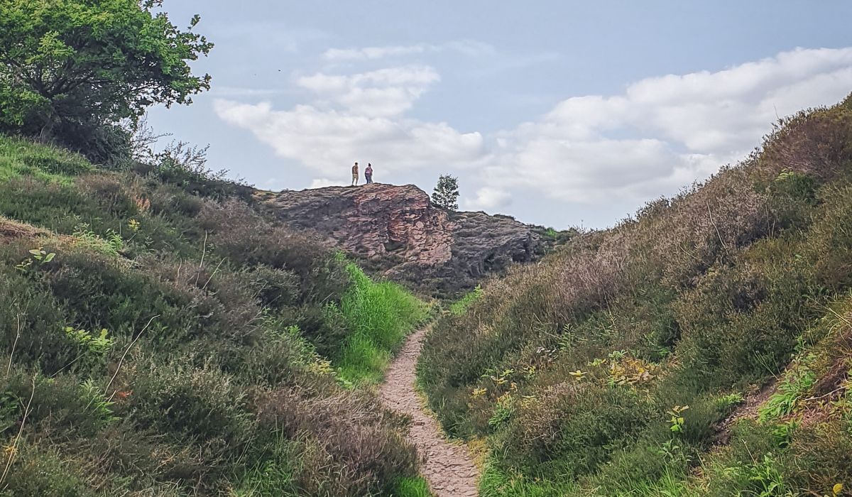
Reading the Landscape Before You Walk
Ordnance Survey maps are more than a pretty picture of the countryside. They are a detailed language of lines, symbols and colours that, once decoded, tell you exactly what the ground will do under your boots. For any walker venturing onto open access land, that language is your best safety tool.
Most countryside routes are best served by the 1:25,000 Explorer series, where 4 cm on the map equals 1 km on the ground. The 1:50,000 Landranger covers more ground but hides smaller field boundaries and narrow paths. For matching footpaths to fences and contour lines, the Explorer scale is your friend.
- Scale: 1:25,000 means every 4 cm on paper is 1 km in reality.
- Key: Always check the legend — symbols can vary between areas and map editions.
- Orientation: Set the map with a compass so north on paper matches north on the ground.
Familiarise yourself with the key before you leave the car. It is the difference between a confident stride and a muddy, frustrated detour.
Contour Lines: The Shape of the Hills
Contour lines join points of equal height. On a 1:25,000 map they are usually 5 metres apart; on a 1:50,000 map, 10 metres. The closer they are, the steeper the ground. This is your cheat sheet for effort and route choice.
Look for patterns. Concentric circles mean a summit. V-shaped contours pointing uphill indicate a valley or re-entrant. Contours running parallel and tight together mean a steep slope, perhaps a scarp face. Widely spaced contours promise a gentle gradient.
When planning a route, match your intended footpath to the contours. A path that crosses several tight contours will be a lung-buster. A path that follows a contour around a hillside is far kinder. Remember that water flows downhill, so valleys often hold streams and boggy ground — useful for wildlife, but not for dry boots.
Footpaths, Bridleways and Rights of Way
Public rights of way are marked by specific symbols. On OS maps, a public footpath is a green dashed line, often with small arrows. A bridleway is a green dashed line with plus signs, open to walkers, cyclists and horse riders. A restricted byway uses a green dashed line with arrows too, but check the key. Permissive paths are usually orange dashed lines and can be closed at certain times.
On the ground, look for waymark signs: yellow arrows for footpaths, blue for bridleways, red for byways. Gates, stiles and kissing gates are clues. If the map shows a path crossing a stream, look for a footbridge symbol. If it crosses a field, expect a trodden line.
Never assume a path is clear. Crops can hide the line, and fallen trees may block your way. Use the map to find a bypass on another right of way. And always respect closures and diversions — they protect both you and rural livelihoods.
Boundaries as Handrails
Field boundaries — walls, fences and hedgerows — are your navigation allies. On the map, they appear as black lines (walls and fences) or black dotted lines (hedges). They act as handrails: linear features you can follow with your thumb on the map and your eyes on the ground.
Combine boundaries with contour lines. A wall running along a contour makes a level, easy-to-follow route. A fence climbing straight up a slope tells you the gradient is direct. When visibility drops, aim for a boundary and follow it to a known corner. Count field gates or junctions to track your progress.
But beware: boundaries can be broken or overgrown. A map may show a wall that has collapsed. Use them as guides, not gospel. And always keep your map folded to the section you need — wrestling with a flapping map in a gale is no fun.
Open Access Land and Wildlife
Open access land is shown on OS maps as a pale orange or brown wash, often with a black border. This is land where you have a right to roam on foot, subject to restrictions. It is a privilege, not a free-for-all. During lambing, nesting or shooting seasons, access may be limited. Check local signs and the map's access information.
Wildlife is abundant on these spaces. You might spot curlew, lapwing, or red grouse. Keep dogs on leads near livestock and ground-nesting birds. Stay on paths where requested. Remember the Countryside Code: respect, protect, enjoy.
Contours and boundaries matter even more here. Open access land often lacks waymarked paths. Use contour features — a spur, a re-entrant, a plateau — to navigate. Match them with the map's boundary lines to confirm your position. If mist descends, retrace your steps to a known handrail.
Putting It All into Practice
Let us say you plan a 6 km circular walk. On the map, you see a public footpath leaving a village, crossing a stream, then climbing a hill. The contours are tight, so you expect a steep pull. The path follows a wall for 500 metres — a perfect handrail. At the top, the map shows open access land with a trig point. You use the trig as a target.
On the return, you follow a bridleway that contours around the hill, gentle and wide. You note a fork where a fence meets a hedge — a good place to check your compass. The map also shows a nature reserve symbol, so you keep quiet and look for deer.
Before you go: check the weather, tell someone your route, and carry a compass and a paper map in a waterproof case. GPS is handy, but batteries die. The map never does.
Reading an OS map is a skill that grows with every walk. Start with short routes, match the symbols to the ground, and soon you will be navigating open access land with quiet confidence — and spotting more wildlife because you are not glued to a screen.
LEAVE A COMMENT